The Government of Kenya has embarked on a National Digital Soil Mapping that will be carried out in 45 counties apart from the urban counties of Nairobi and Mombasa.
The initiative, is being led by the Kenya Agricultural and Livestock Research Organisation (KALRO).
According to Environment and Resource Management Officer at KALRO, Ms. Agnes Yobterik, the initiative, is aimed at developing a soil information system.
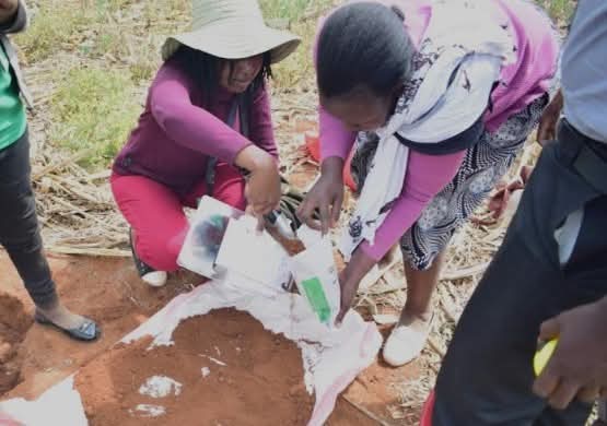
She said that they would be undertaking soil fertility analysis to determine soil status from 77,969 points targeted for sampling across the country.
Ms. Yobterik said the decision to undertake the programme was informed by soil fertility challenges experienced in the country.
“Several initiatives have been done in the past to understand the status of our soils, but the data is over 10 years; few studies carried out in the intervening period have shown that soils in most agricultural landscapes have increasingly become acidic,” said Ms. Yobterik.
There is therefore a critical need to re-look at the status of our soils so that we know the level of the various nutrients in the soils to be able to guide the way we apply fertilisers.
Going forward, she said, they will recommend that whatever fertiliser is formulated be tailor-made to farm specifics.
Ms. Yobterik added that the programme's goal was for the country to understand its soils, specifically their nutrient needs, and tailor-make the fertiliser applications.
The KALRO Food Crops Research Institute, Kitale deputy institute director Dr. Mary Koech, had this to Say :
“The government will know which area lacks what soil nutrient and the type of fertiliser suitable for which area; out of all these, we anticipate we are going to improve productivity and ensure we have adequate food security in the country.”